The Mysteries Project #4: Ship Tracks
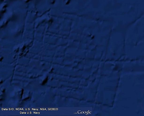
The argument has been made elsewhere that the lines in the image below in figure 1 are the result of "ship tracks." Ship tracks are sonar artifacts, and it is important to understand why these lines are unambiguously not ship tracks.
 | Figure 1: Original Google Earth 1.0 image of the Atlantic Grid on the bottom of the Atlantic Ocean off the coast of Morocco and Spain Note the good contrast and smooth gradations in color as one moves across the image. Latitude: 31.369723° |
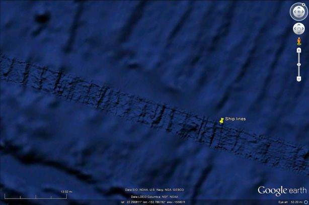
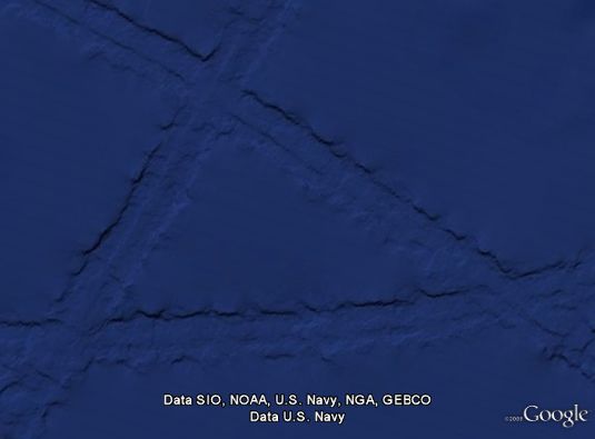
When ships use sonar imaging to make pictures of the ocean bottom, the sonar images immediately below the ships are high resolution, whereas the imaging off to the sides is soft and fuzzy. (See below.) In the examples of real ship tracks in the two example images below, note that the ship tracks are nearly perfectly straight (as required by U.S. Navy contract), with high resolution imagery located between two exactly parallel borders, and fuzzy imagery located outside of those borders. Compare these real ship tracks with the lines in figure 1 above. In figure 1, the lines are generally not straight, nor do they have high resolution imagery between two exactly parallel boundaries together with fuzzy imagery outside of those boundaries. Rather, these lines in figure 1 are likely caused by real elevation changes, which implies that the lines in the image appear to be the result of silt covering real objects that reside on the ocean bottom.
  | Figure 2: Examples of Real Ship Tracks Note the parallel outside boundaries of real ship tracks, with high resolution imagery between those two boundaries together with fuzzy, low resolution imagery outside of those boundaries. Note also that ship tracks are straight. (Drunken sailors don't pilot those boats.) |